Project Overview:
The Ashokan Watershed Stream Management Program (AWSMP) typically restores a large section of stream each year with the goal of removing major sources of fine sediment from water flowing into the Ashokan Reservoir. The projects are also designed to protect and restore stream habitat.
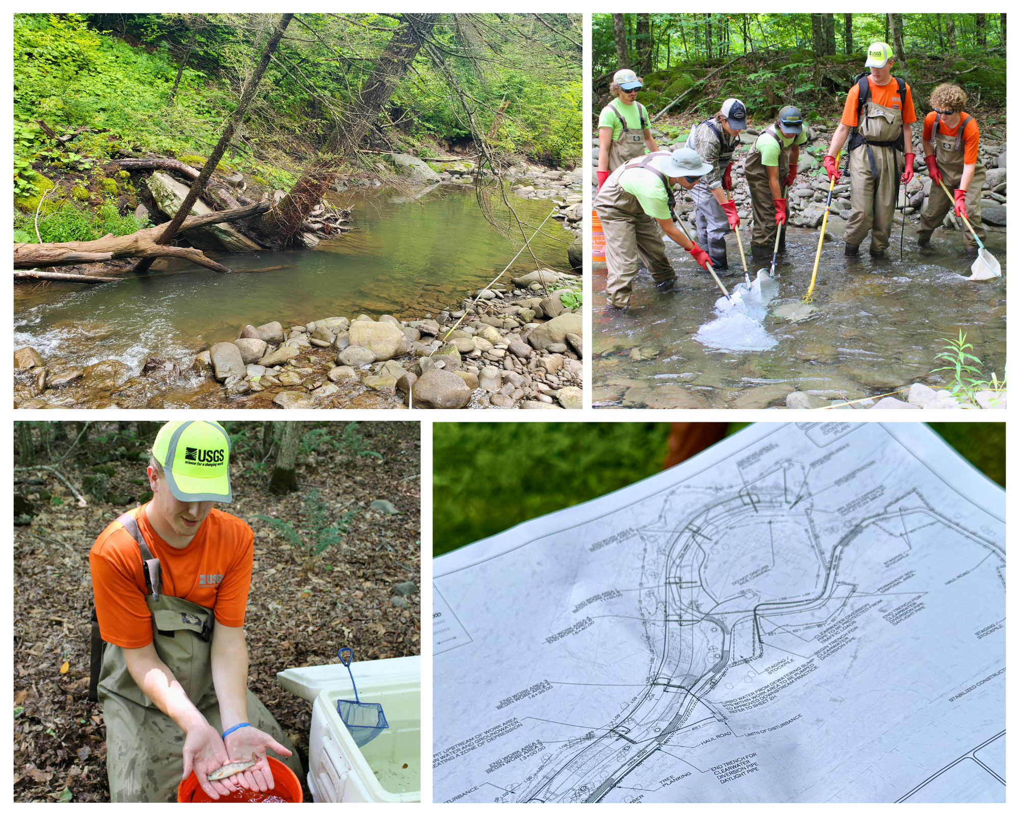
In 2019, a collaborative project began between the AWSMP and the United States Geological Survey (USGS) to study how stream restoration directly impacts fish populations and habitat quality. Using a Before-After/Control-Impact (BACI) design, monitoring takes place at both restoration and unmanipulated control sites. The AWSMP monitors fish and macroinvertebrate habitat using the Rosgen Salmonid Habitat Index. This index is focused on how the physical form of the stream fosters habitat for fish during different life stages and flow regimes, and macroinvertebrate habitats.
Project Sites:
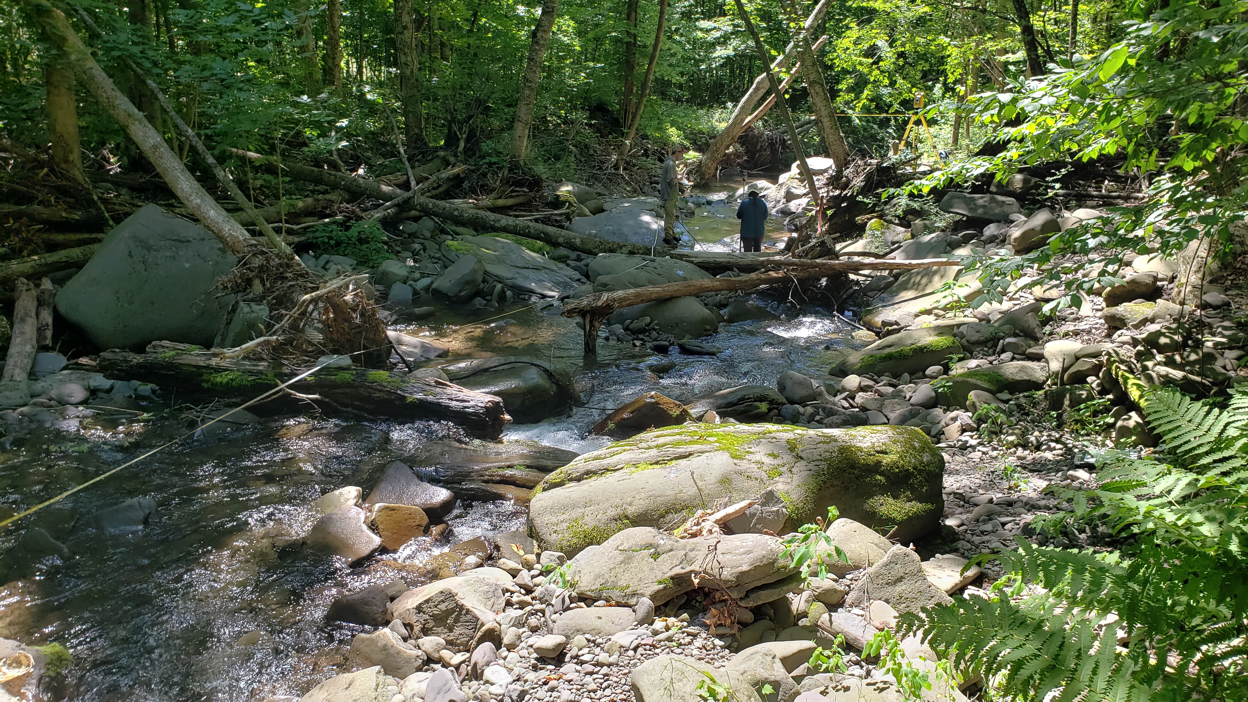
Annually, The AWSMP assesses habitat quality at the stream restoration sites listed below while the USGS monitors fish populations. Habitat assessment involves conducting a full geomorphic survey consisting of a longitudinal profile, cross-sections, and pebble counts. Key habitat features such as overhanging vegetation, large wood, undercut banks, and pocket pools are also surveyed.
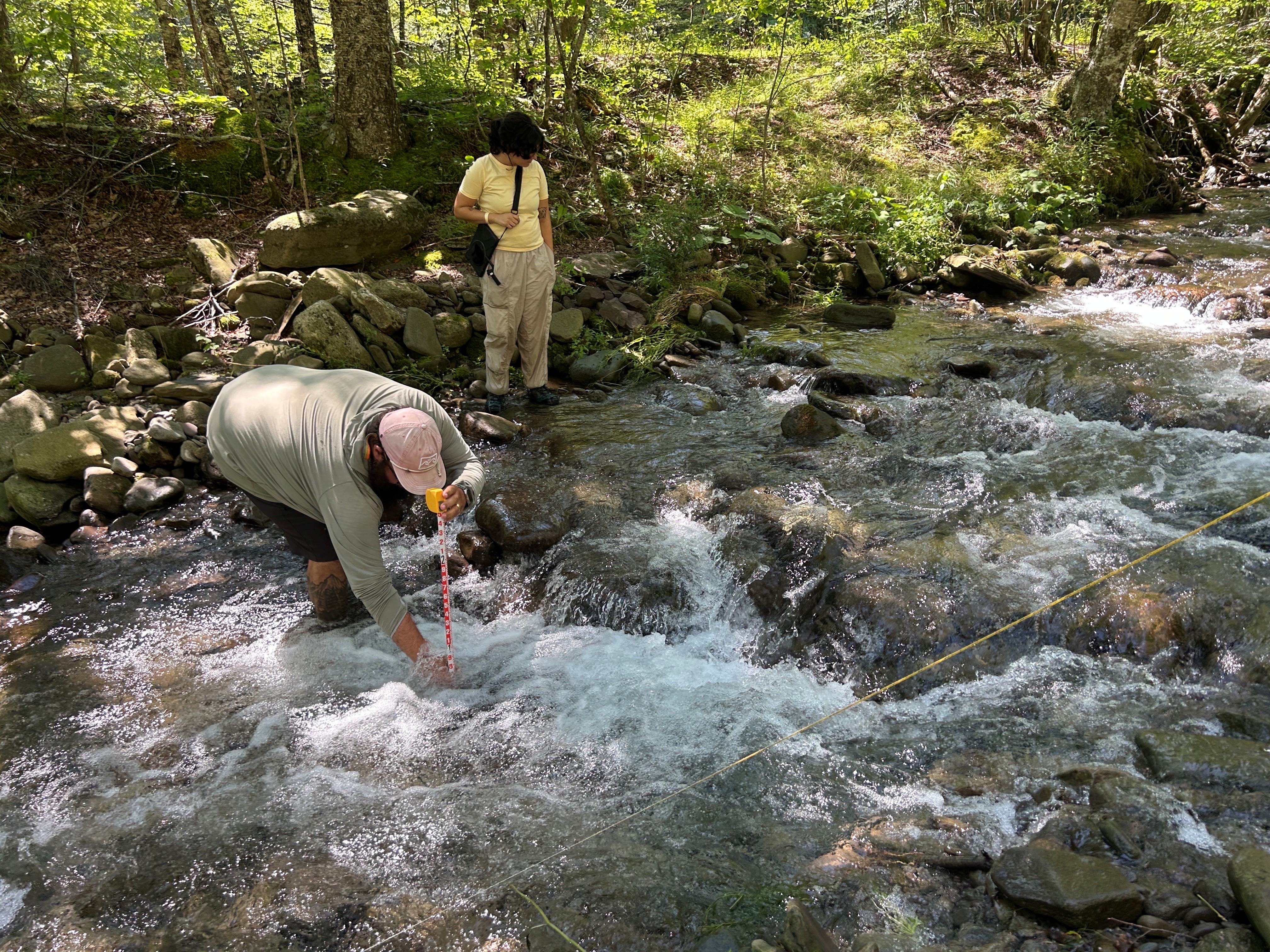
Elk Bushkill (Constructed in 2023)
On the Elk Bushkill, clay was exposed in the channel by large floods from 2010-2011 and the stream channel further destabilized during later high flows. The restoration design involved restoring the channel to proper dimensions for the location – using a channel width, depth, and slope that allow the channel to carry a range of flow levels without excessive erosion. The restoration design includes a low flow channel that will be critical habitat during droughts.
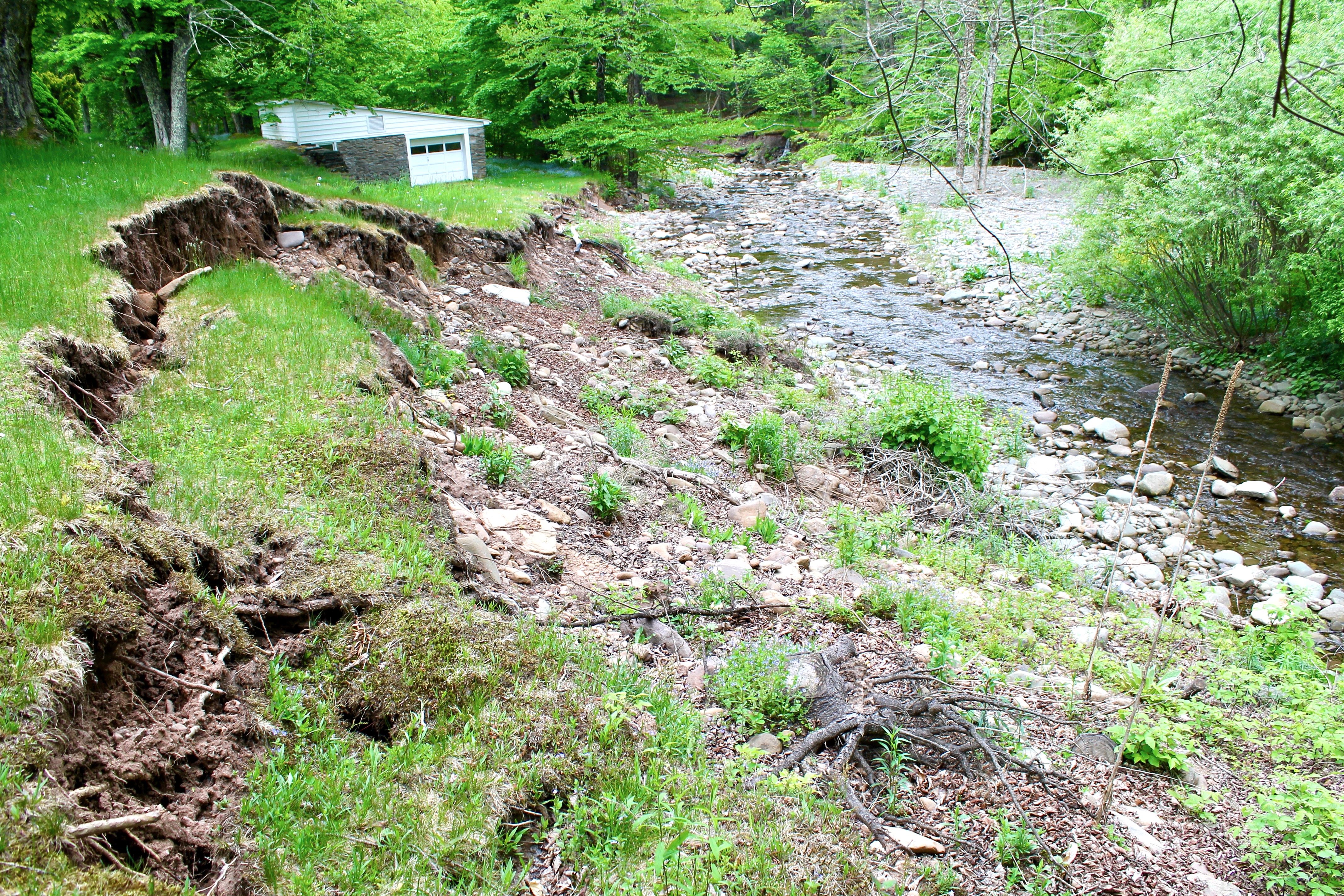
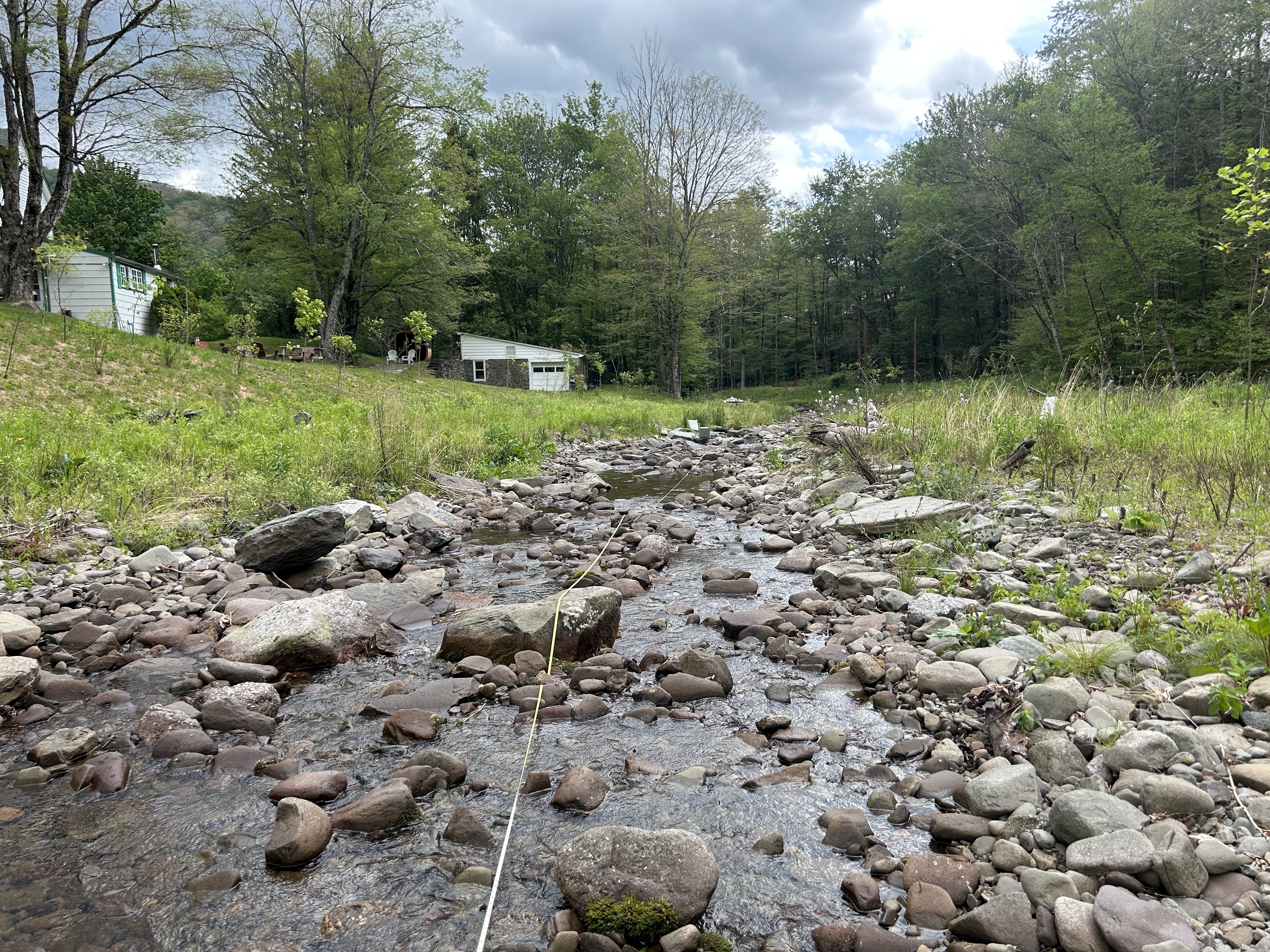
Broadstreet Hollow (Construction Ongoing in 2026)
This section of Broadstreet Hollow was first flagged in 2001 by the Ulster County Soil and Water Conservation District (Ulster SWCD) as part of routine monitoring and assessment carried out for the Ashokan Watershed Stream Management Program (AWSMP). A reassessment in 2023 prompted the stream restoration project as the site continued to be a major source of fine sediment and turbidity. About 1,300 linear feet of unstable stream channel will be stabilized and restored to more natural condition and function.
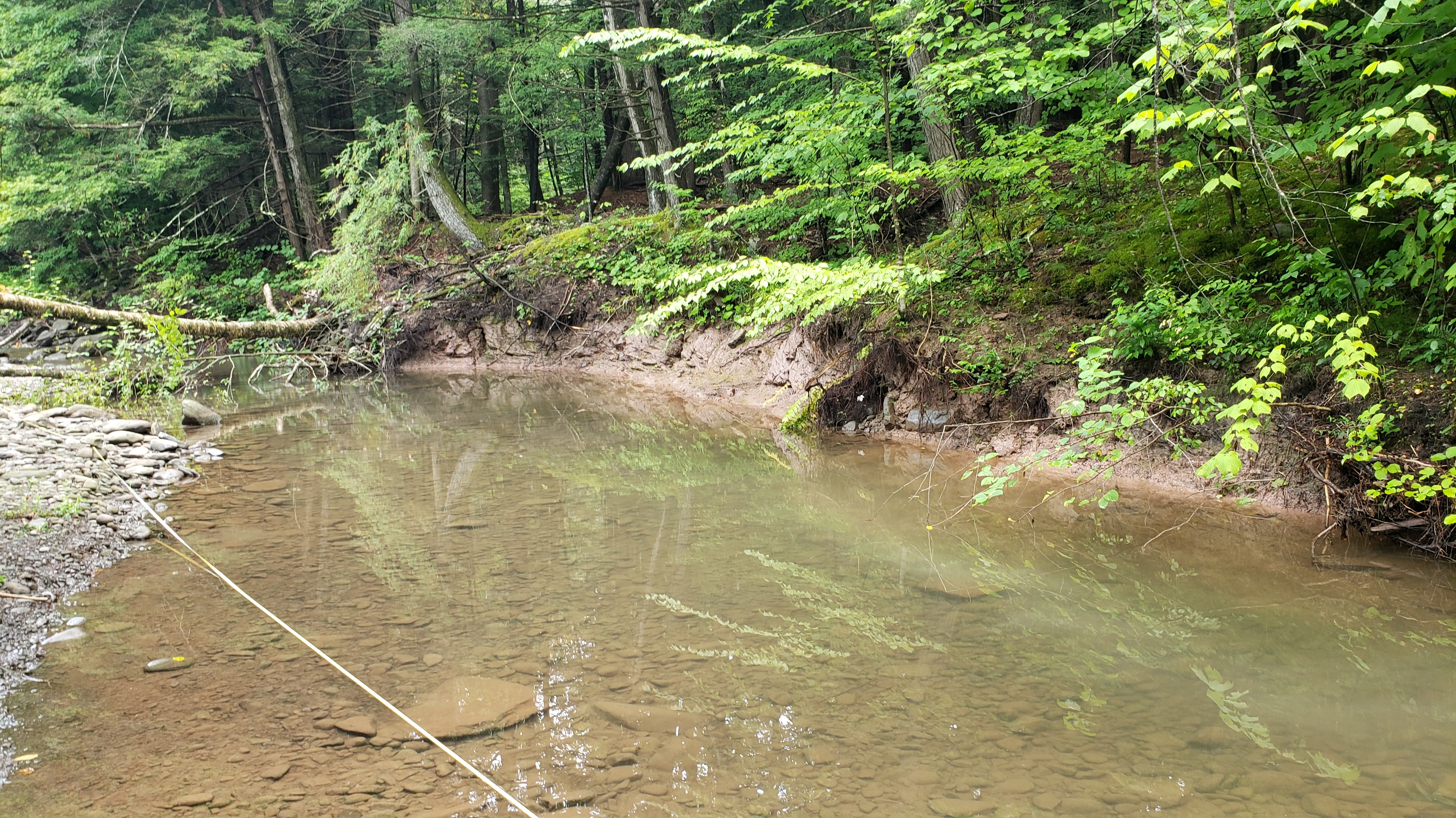
Hollow Tree Brook (Construction Planned for 2027)
Major flooding in 2010 and 2011 caused significant erosion on Hollow Tree Brook in the town of Hunter. About 400 feet of stream shifted course and eroded through clay deposits beneath the stream bed. The site was further destabilized after flooding in December 2020, as the unstable channel continued to erode into the stream bed.
Updates:
Elk Bushkill monitoring was completed in summer 2026. We are currently processing the data. Check back in the spring for updates on our findings!
Project Team:
Max Kelly, Cornell Cooperative Extension of Ulster County (AWSMP)
Researcher and Project Coordinator
Leslie Zucker, Cornell Cooperative Extension of Ulster County (AWSMP)
Grant Coordinator
Scott George, United States Geological Survey
Researcher and Principal Investigator