
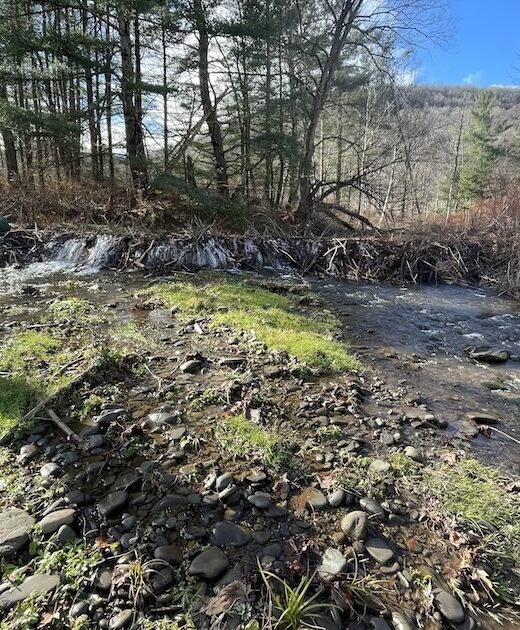
The Town of Shandaken is undertaking a Local Flood Analysis (LFA) for the hamlet of Chichester. The initiative is led by the …
Stream and Floodplain Training Scholarships Now Available
The Ashokan Watershed Stream Management Program is providing a limited number of scholarships to stream and floodplain managers in …
Continue Reading about Stream and Floodplain Training Scholarships Now Available
Happy Holidays from the AWSMP
The staff of the Ashokan Watershed Stream Management Program wish you a warm and happy holiday season. We are grateful for your …
New Flood Mitigation Options for Phoenicia
On September 8, 2025, the Town of Shandaken Town Board heard a report from consulting firm SLR on the results of new computer …
Continue Reading about New Flood Mitigation Options for Phoenicia
Shokan and West Shokan Local Flood Analysis
The Town of Olive is undertaking a Local Flood Analysis (LFA) for the hamlet of Shokan and an expanded flood analysis for the …
Continue Reading about Shokan and West Shokan Local Flood Analysis
Now Hiring for AWSMP!
Cornell Cooperative Extension of Ulster County (CCE Ulster) has posted a job opening for Education Program Manager with the …

Bridge Street Bridge Public Meeting
Stop by a public meeting open house at the St. Francis De Sales Parish Hall in Phoenicia to learn about the Bridge Street Bridge …

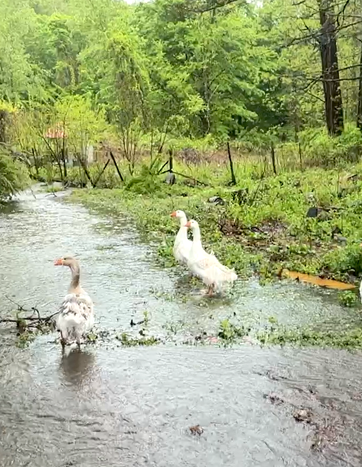
Stream Explorers Youth Adventure April 26 at the Ashokan Center
This year's one-day 'Stream Explorers' outdoor youth adventure will be held Saturday, April 26, 2025, at the Ashokan Center. …
Continue Reading about Stream Explorers Youth Adventure April 26 at the Ashokan Center
Free Floodplain Administrator Basic Training April 8-9 in Arkville
Calling all local Floodplain Administrators in the Catskills portion of the NYC Watershed - you can attend a free two-day training …
Continue Reading about Free Floodplain Administrator Basic Training April 8-9 in Arkville
New Podcast Shares Stream Educator’s Insights
The AWSMP has released a new recorded interview with former Stream Education Leader Tim Koch who provides perspective on a career …
Continue Reading about New Podcast Shares Stream Educator’s Insights