The Town of Olive is undertaking a Local Flood Analysis (LFA) for the hamlet of Shokan and an expanded flood analysis for the hamlet of West Shokan. In addition, a stormwater study is underway for the portions of Shokan not directly affected by river flooding. The engineering firm carrying out the LFA and supporting the town’s flood committee is SLR Consulting. The studies began in July 2025 and will conclude within a year.
This webpage will be used to post announcements and distribute documents to the public.
Public Meetings
Three public meetings are planned to share study results and obtain input from residents.
Public Meeting #1 – Thursday, September 11 at 6:30 pm
The first meeting on September 11, 2025, at the Town Meeting Hall introduced the projects to residents. The town flood committee and SLR gave a brief overview of the LFA process and began gathering information from residents. Large format maps were provided for residents to identify their properties and explain flooding issues they have experienced. What are your experiences for flooding and stormwater? Do you have suggestions? The town and SLR want to hear from you!
View SLR’s slide presentation: Shokan West Shokan LFA Public Meeting #1
Public Meeting #2 – Date to be Determined
After the first public meeting, engineers from SLR will test a range of strategies to reduce flooding for their effectiveness using engineering analysis. SLR will present the initial results at a second public meeting and again gather public input. The second public meeting will be held in West Shokan on a date to be announced.
Public Meeting #3 – Date to be Determined
By public meeting #3, engineers at SLR will have evaluated the most effective strategies offer flood reduction benefits for their feasibility, cost, and funding sources. They will present those findings to the Olive Town Board and hamlet residents at this final public meeting.
If you can’t make the public meetings
We hope you can join us in-person, but if you aren’t able to attend a public meeting you can provide input to SLR at Adam Doan, adam.doan@slrconsulting.com.
LFA Study Areas
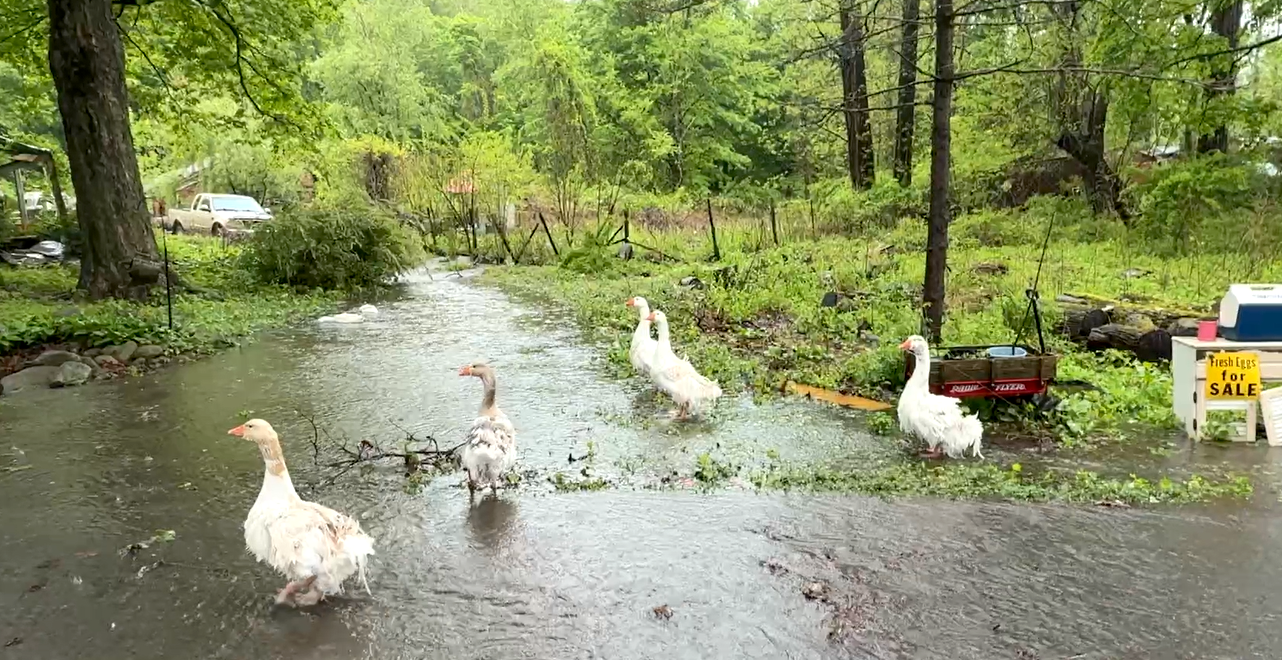
Shokan – This is the first known study of flood risk in the hamlet of Shokan. The Shokan study area is centered on a branch of Butternut Creek with flows fed by the slopes of Ticetonyk Mountain. The creek is known to flood in several locations on Bostock Road and Red Maple Road and in low-lying areas where Black Alder Road meets Red Maple Road. A map of the Shokan study area can be viewed here:
Shokan LFA Study Area Map
West Shokan – The town completed a Local Flood Analysis for most of the hamlet of West Shokan in 2017. In the eight years since that study, the town implemented most of the priority recommendations. However, several areas adjacent to the original study area remain prone to flooding and will be the focus of this new analysis. These areas include the lower reaches of Maltby Hollow Brook, an upstream portion of the Bush Kill above the confluence with Maltby Hollow, and an area near Lang Road fed by small tributaries that drain into the Ashokan Reservoir. A maps of the expanded West Shokan study area can be viewed here:
West Shokan LFA Study Area Map